SOTA: Province Mountain, June 10, 2021

In my continuing quest to spend time hiking and operating, rather than driving, on my Summits on the Air excursions I chose Province Mountain, less than an hour's travel from home and an easy, quick climb to a partial view.
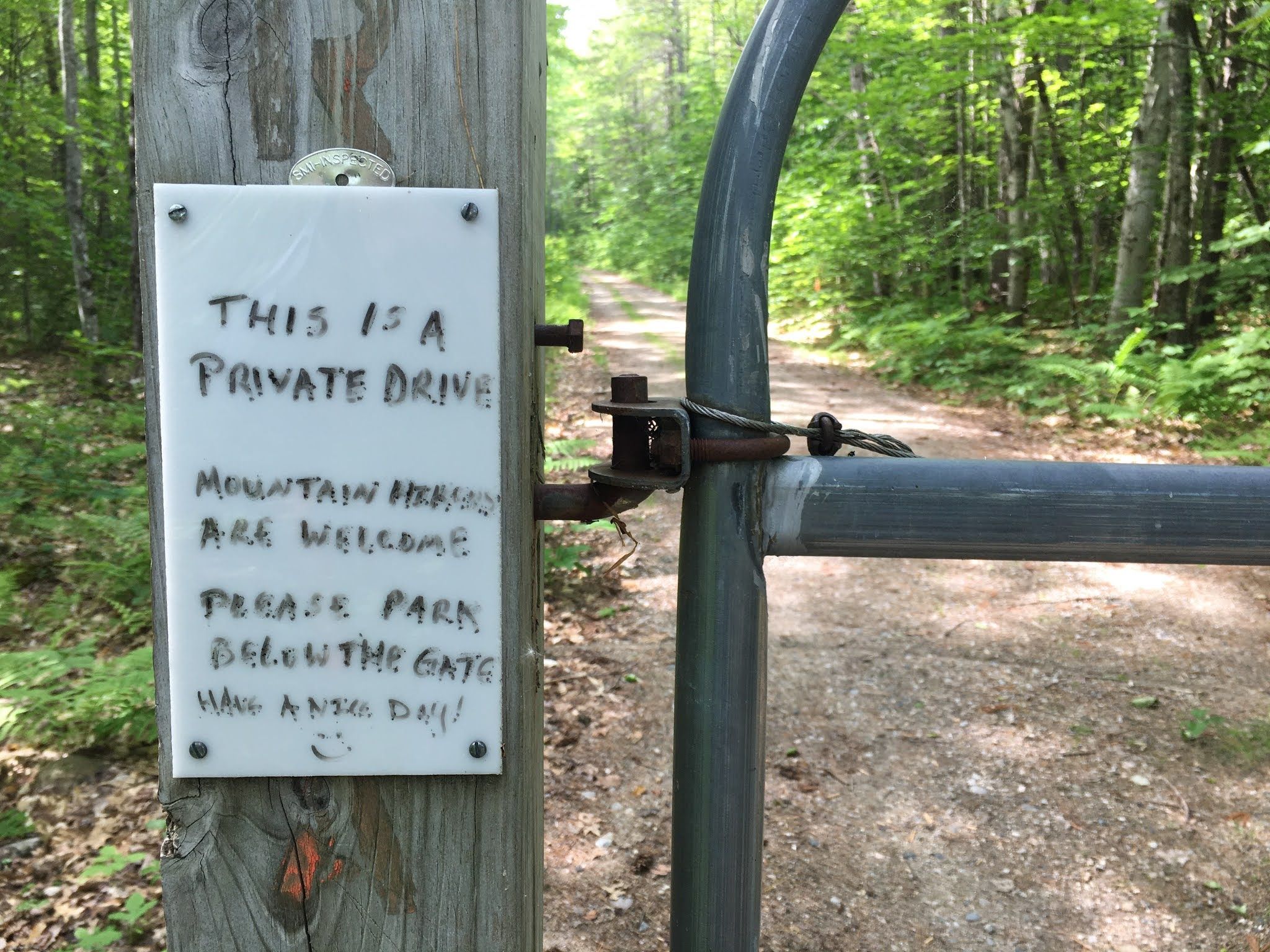
I also like clarity about permission and certainty about my route up. I found W1/AM-409 met both criteria.
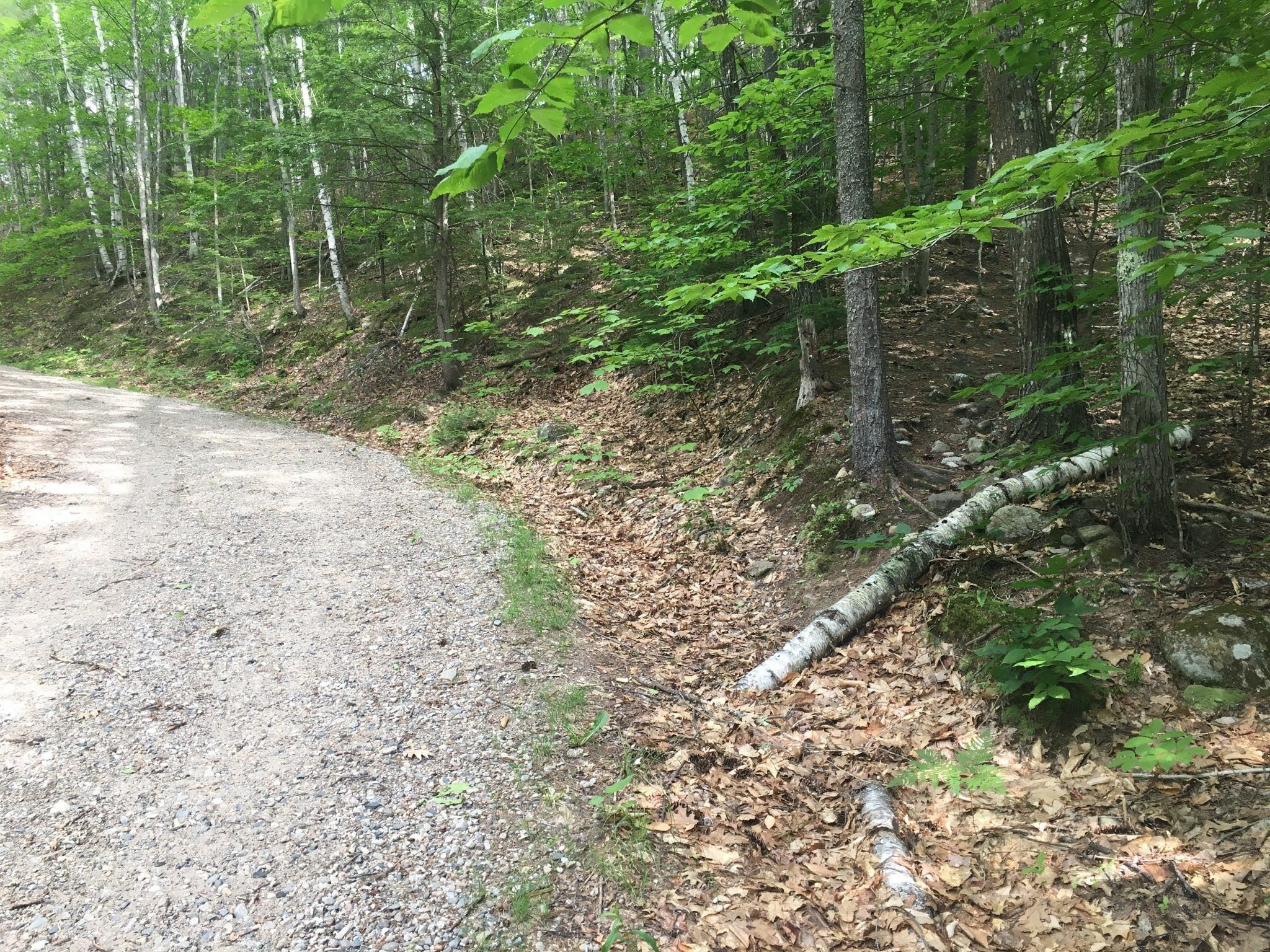
On the way back down, I apparently forked right instead of left and came back out to the road at a spot marked, for now, by a downed birch. It's a little steeper this way than the segment I went up, but it's slightly closer to the exit.
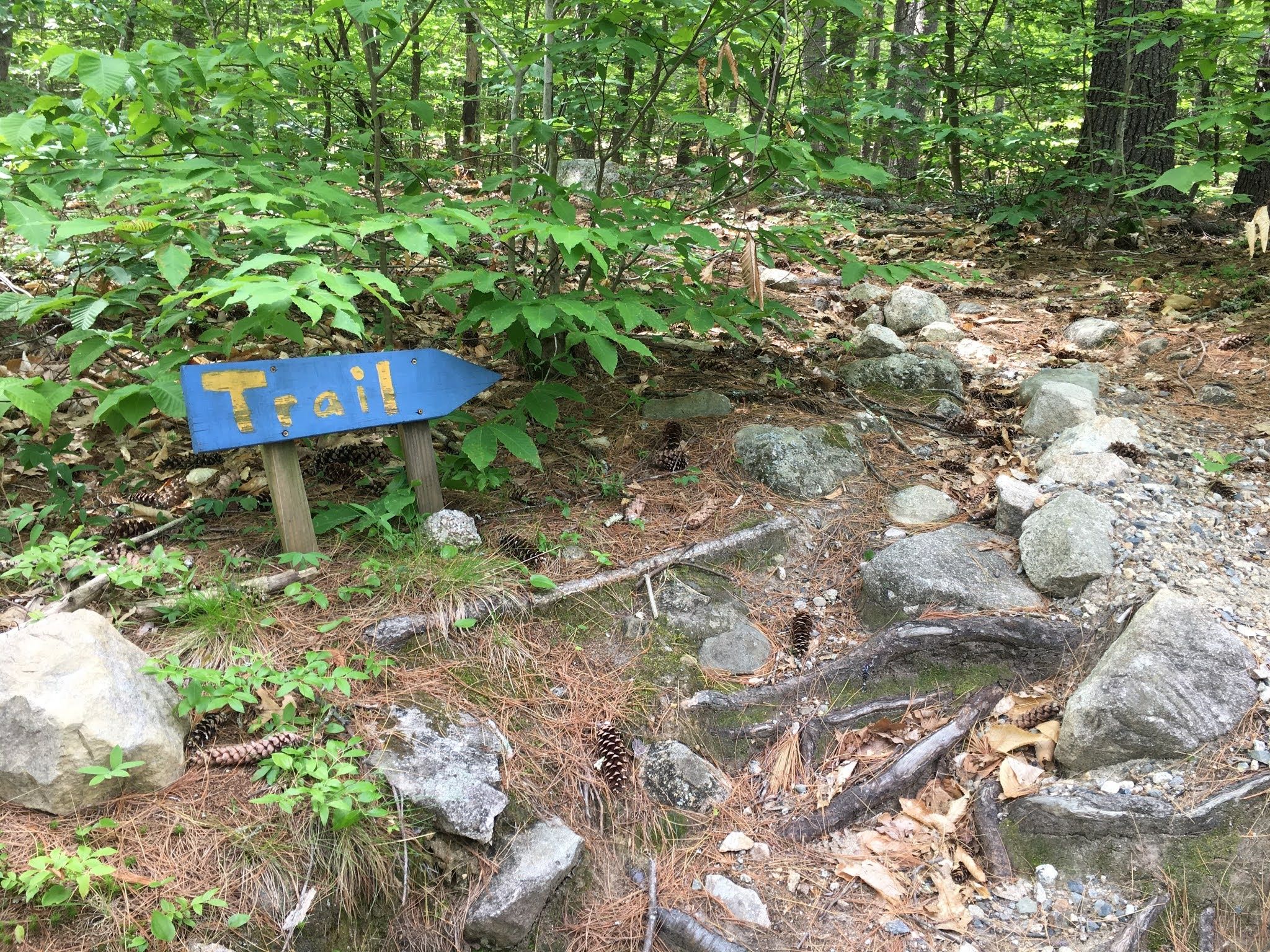
But on the way up, I didn't see that opening and instead continued to this clear and courteous sign.
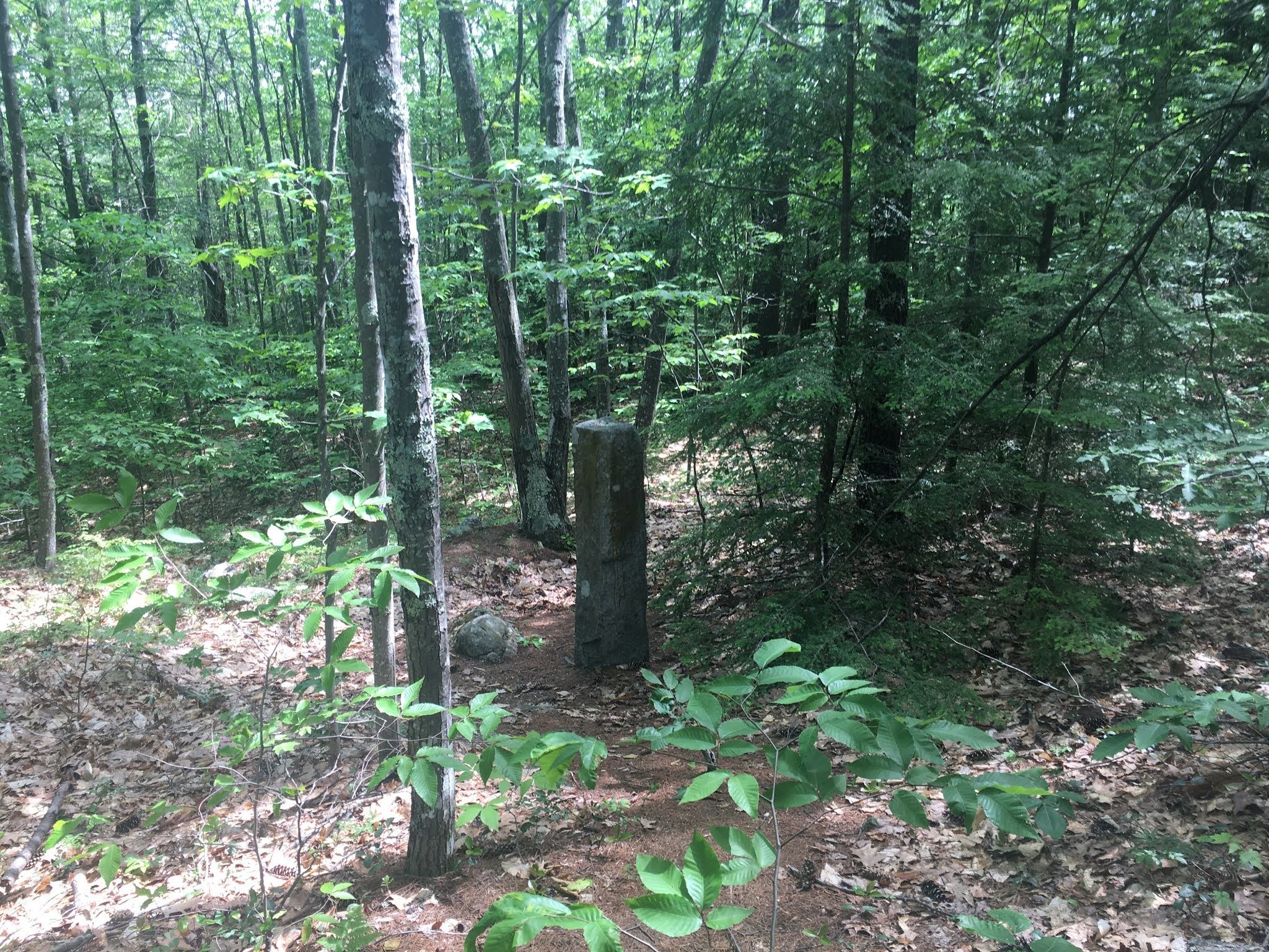
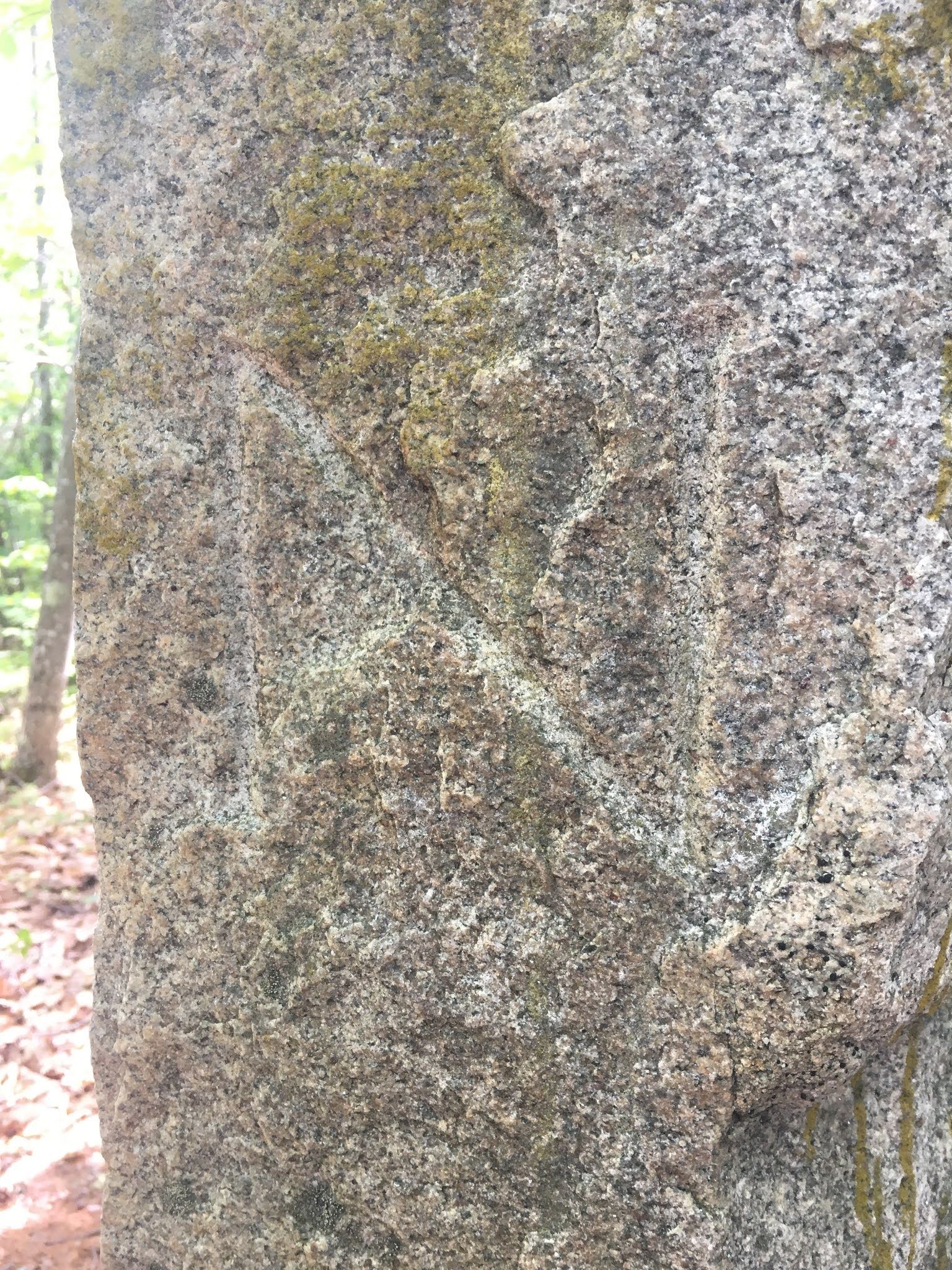
The trail starts in East Wakefield, New Hampshire, but on the way up it crosses into West Newfield, Maine. There's a granite post beside the trail to mark the spot. Was it really put here in 1898? If so, it was probably in a big field back then.

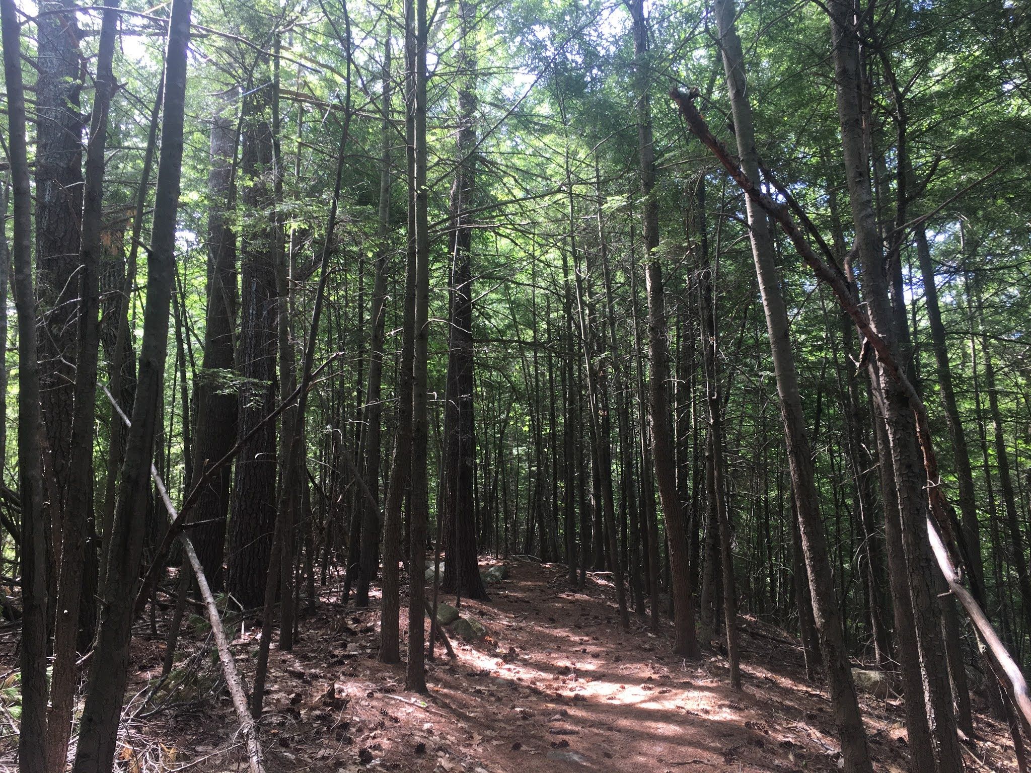
Just after the marker, there's a nice stretch of hemlocks. Blackburnian warblers were singing here.
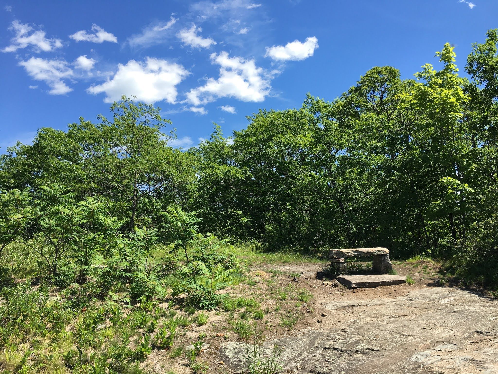
It's not a long hike to the top and once there you can take a break on a sturdy bench with a nice view of Province Lake and the White Mountains.
I got out of the sun and set up for a few hours of operation and experimentation. Neither the bands nor my antennas were all that great, but I managed enough CW QSOs on 20 meters to succeed with the activation. Only two other people visited during my lengthy weekday stay.
Notes
- About the images: All photos © Scott Richardson.
- Originally posted to Blogger.
- Last modified February 1, 2026.